


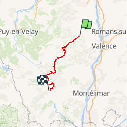

21 km | 29 km-effort


User


FREE GPS app for hiking
 SityTrail
IGN / Geographical institutes
SityTrail World
The world is yours!
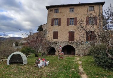
Trail Cycle of 133 km to be discovered at Auvergne-Rhône-Alpes, Ardèche, Le Crestet. This trail is proposed by Lucquiaud.
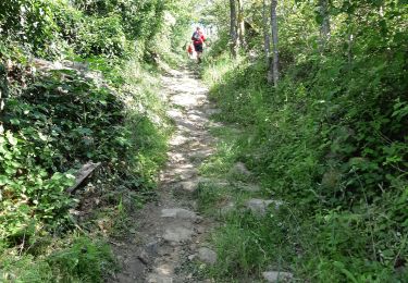
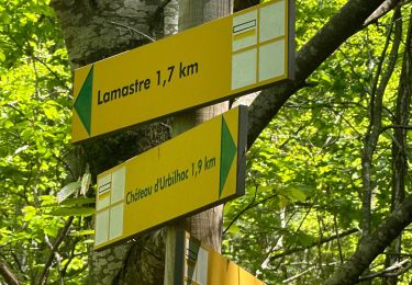
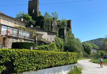
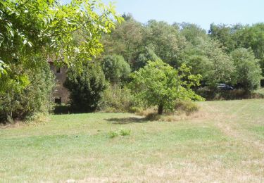
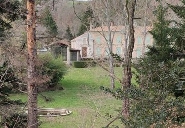
circuit le Tanargue - Lignon sur 3 jours: partie jour 1
Walking

sport
sport

sport

Walking
Walking
Walking
Walking
Walking